


50 min approx.
(including photo breaks!)
100m ascent
1.3 km distance
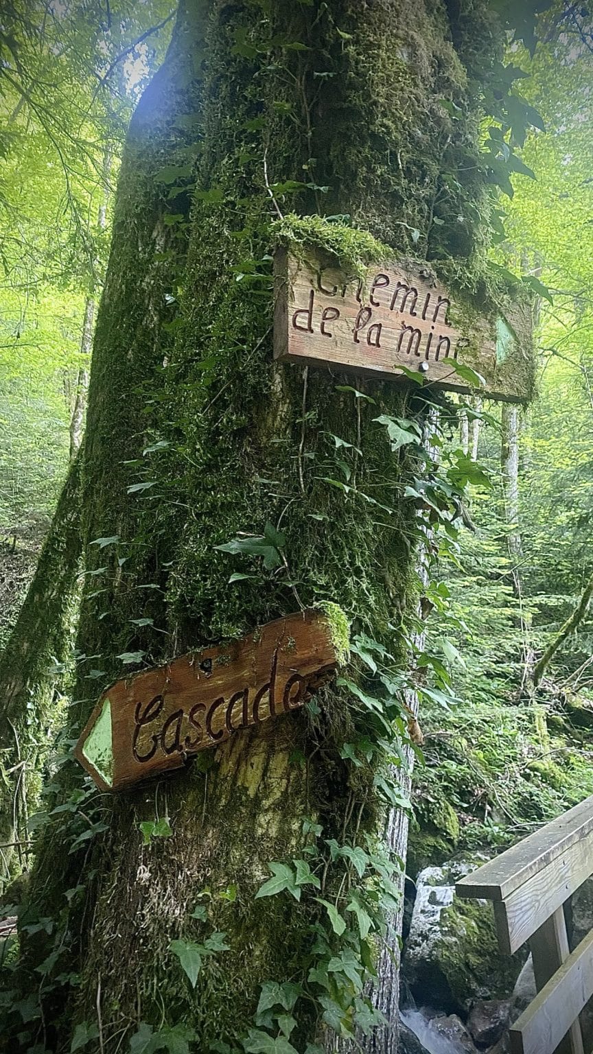
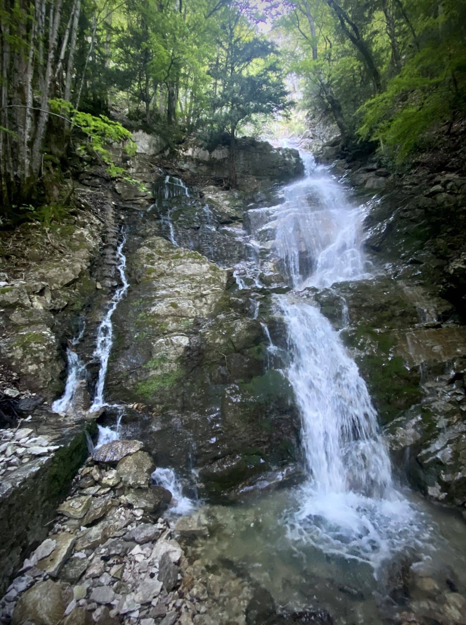
Shady path alongside a stream with lovely pools
Visible all year round, with an emphasis on March to July
From the waterfall sign, climb the dirt track to the intersection of the bridge with Chemin de la Mine.
Continue straight up towards the waterfall.
Return along the same path.
GPS coordinates 45.764930 6.195337
(including photo breaks!)
100m ascent
1.3 km distance
Shady path alongside a stream with lovely pools
Visible all year round, with an emphasis on March to July
From the waterfall sign, climb the dirt track to the intersection of the bridge with Chemin de la Mine.
Continue straight up towards the waterfall.
Return along the same path.
GPS coordinates 45.764930 6.195337
Infos
Schedules
All year round daily. Subject to favorable weather.
Prices
Free access.
Languages
French
Photo gallery