


Infos
Schedules
All year round daily.
Prices
Free access.
Animals accepted
Animals accepted
Steps
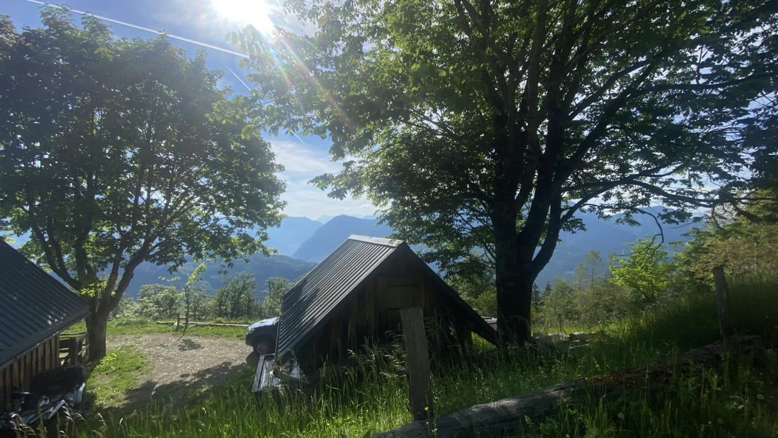
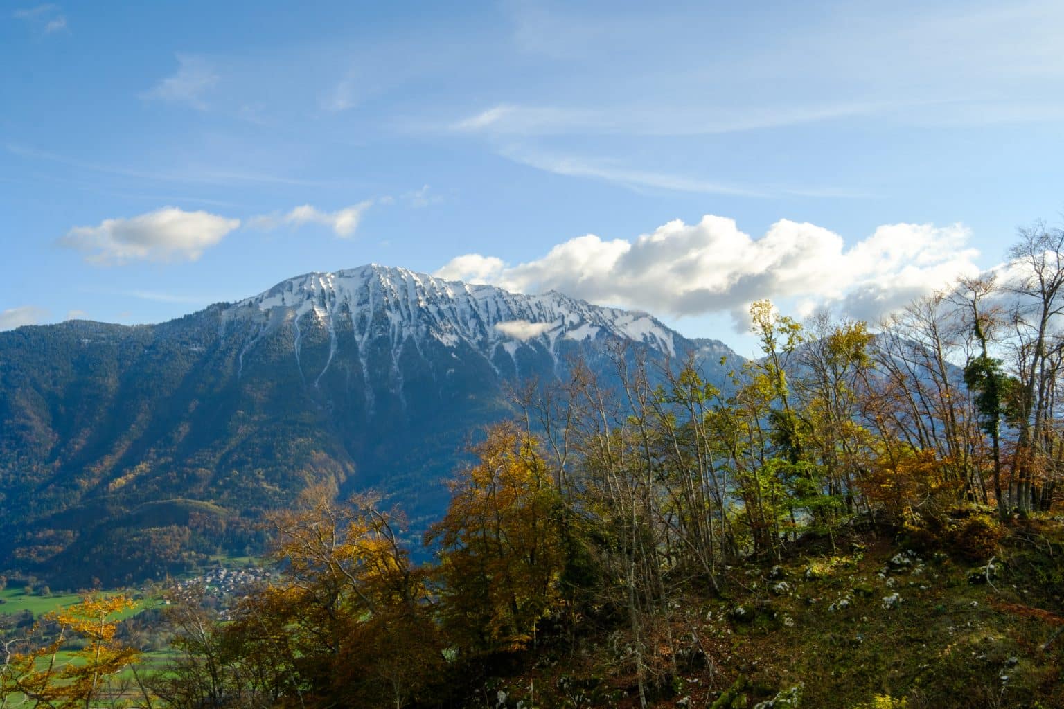
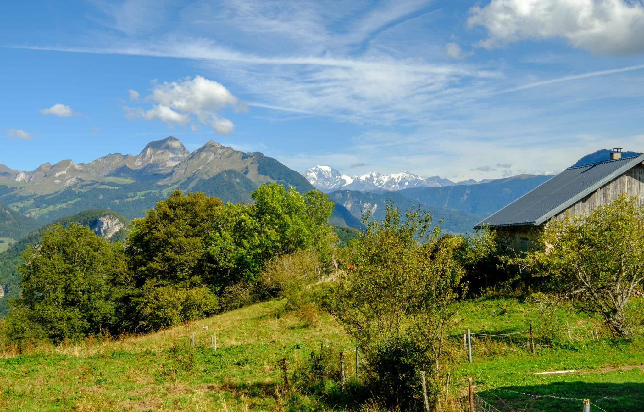
From the Fontany Carpark, go straight ahead on road, following the indication of "Fontany (hamlet)". Take the path that passes on the right of a post indicating the direction "Plan du Chouet". Climb through the woods (1h35). A field that you cross opens the view, you have arrived at the "Plan du Chouet" 1214m. Depending on the time of the day you may see some "horned animals". Then go left towards the "Grande Perriere", on the well-marked track which descends sightly. At the Grande Perriere a directional post will send you towards "Solliet (chalets). Beautiful view of the Bauges massif and typical Chalets.
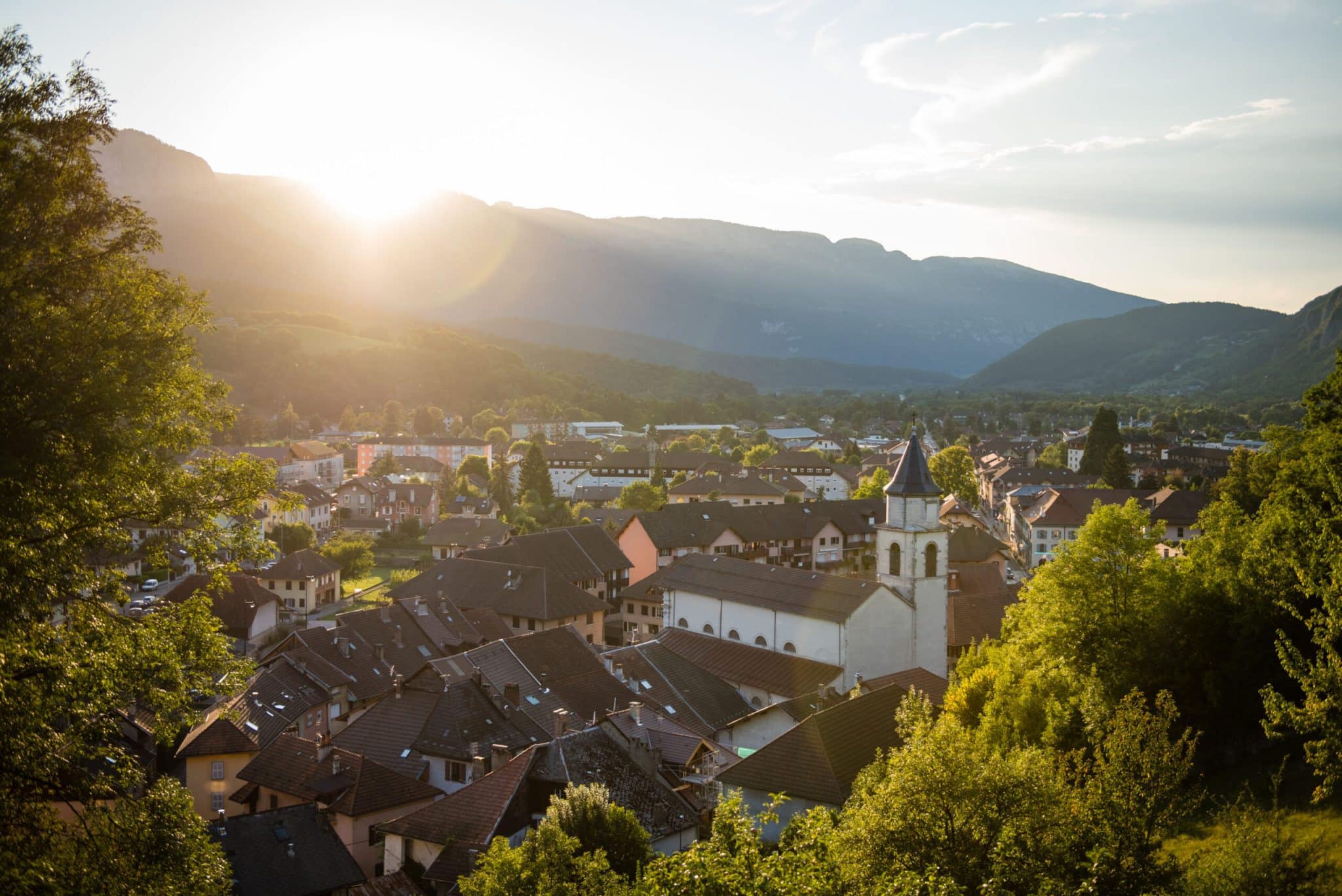
Here you can choose to do a go and back to the Roc de Viuz to a view point on Faverges city. (1 hour add).
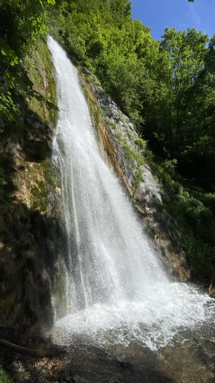
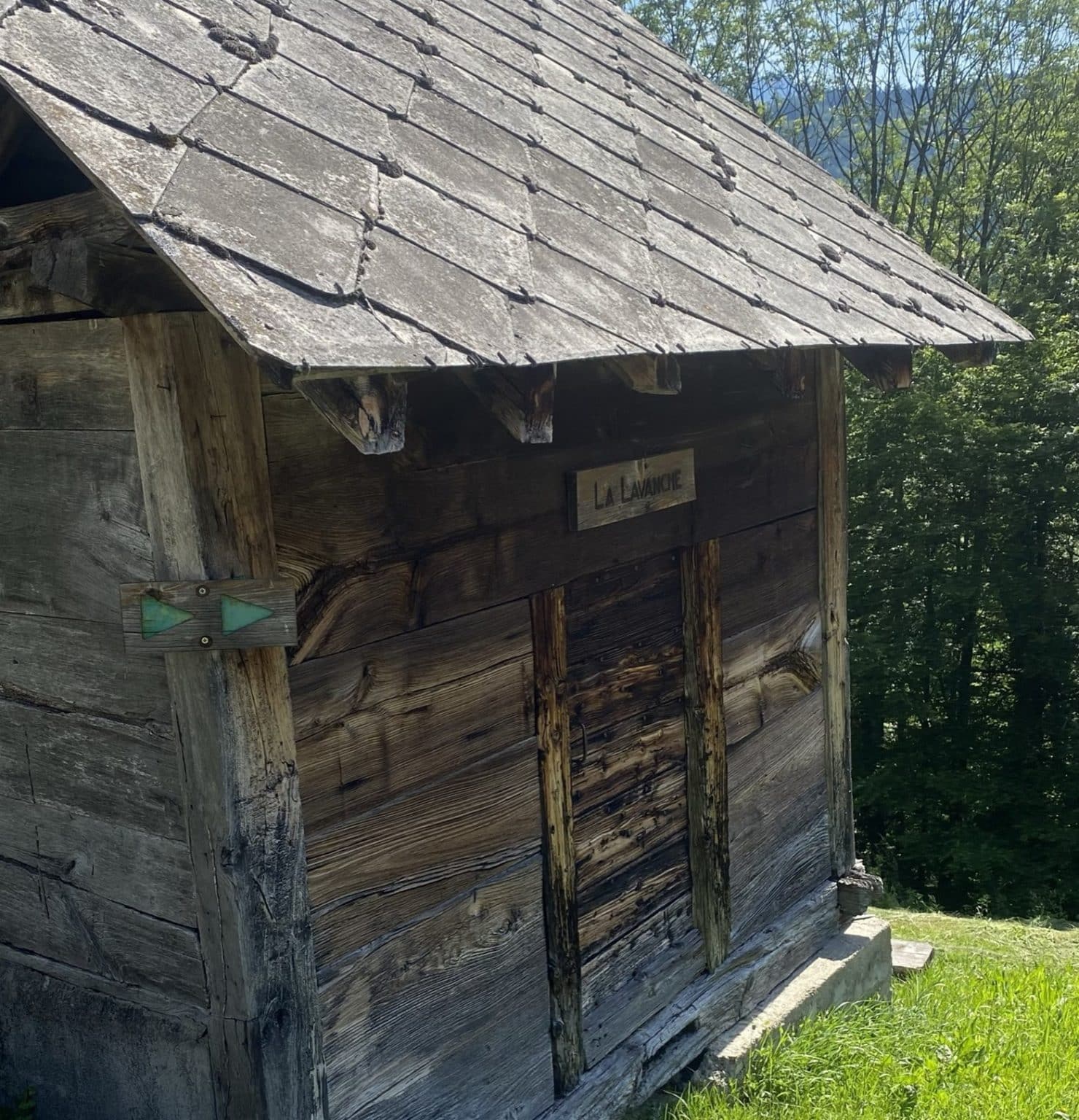
Continue left along the track following the downhill direction "La Lavanche" where you will arrive on a road. Turn right and walk on the road back to your starting point. After 900m, you will come across a signpost "Les Resses du Fontany" which gives you the option of walking to the Fontany Waterfall and back; by going to the right along the small path. The water come from the Nant d'Arcier stream and supllies a good part of the inhabitants of the communes of Saint Ferreol, Faverges Seythenex and Val de Chaise.
Here you can choose to do a go and back to the Roc de Viuz to a view point on Faverges city. (1 hour add).
Continue left along the track following the downhill direction "La Lavanche" where you will arrive on a road. Turn right and walk on the road back to your starting point. After 900m, you will come across a signpost "Les Resses du Fontany" which gives you the option of walking to the Fontany Waterfall and back; by going to the right along the small path. The water come from the Nant d'Arcier stream and supllies a good part of the inhabitants of the communes of Saint Ferreol, Faverges Seythenex and Val de Chaise.
Itinéraire
Hike: La gambade des mouflons
Download GPX File
To open the GPX file, use the Komoot app
Parking du Lautharet
Saint-Ferréol
Photo gallery