


Infos
Schedules
All year round.
Prices
Free access.
Animals accepted
Animals accepted
Steps
0/ From the carpark Les Teppes in Mercury
1/ Take the path ascending parallel to the forest track. Wide and well signed, it's pleasantly winding through the Chevron forest before leading onto the ridge at the place called Croix de Périllet (1710m high).
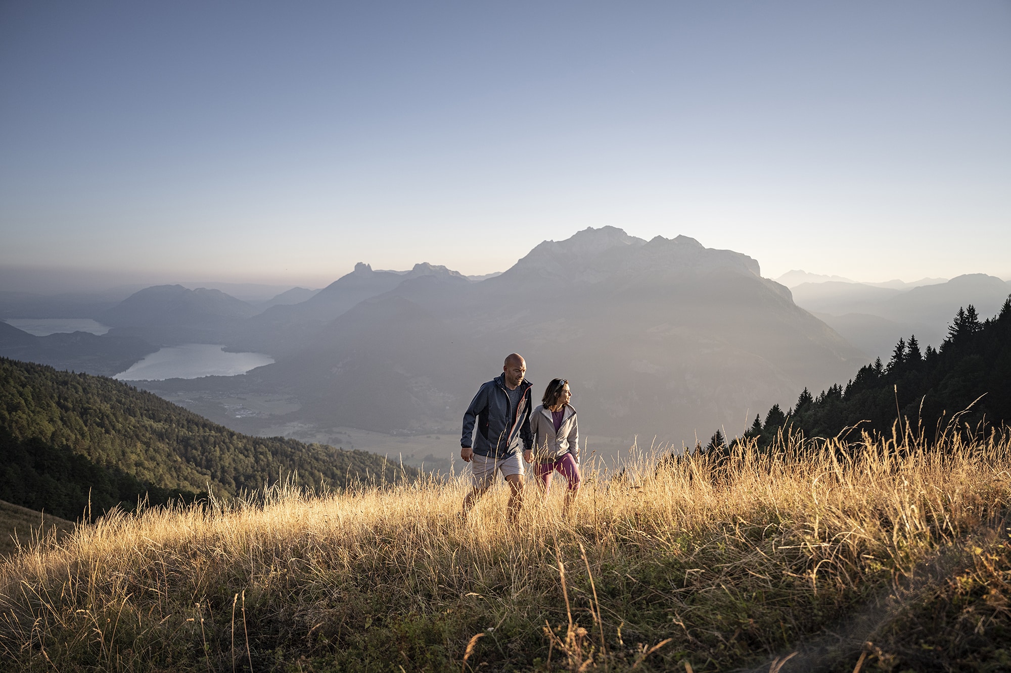
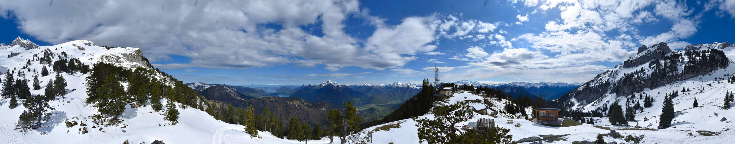
2/ From this promontory, there is a beautiful view of the Combe de Savoie and the path of the aerial ridge (not recommended to people afraid of heights or in rainy weather) leading to the top of the Belle Etoile.
1/ Take the path ascending parallel to the forest track. Wide and well signed, it's pleasantly winding through the Chevron forest before leading onto the ridge at the place called Croix de Périllet (1710m high).
2/ From this promontory, there is a beautiful view of the Combe de Savoie and the path of the aerial ridge (not recommended to people afraid of heights or in rainy weather) leading to the top of the Belle Etoile.
Itinéraire
Hike: La Belle Etoile
Download GPX File
To open the GPX file, use the Komoot app
La Ramaz Mercury
Faverges-Seythenex
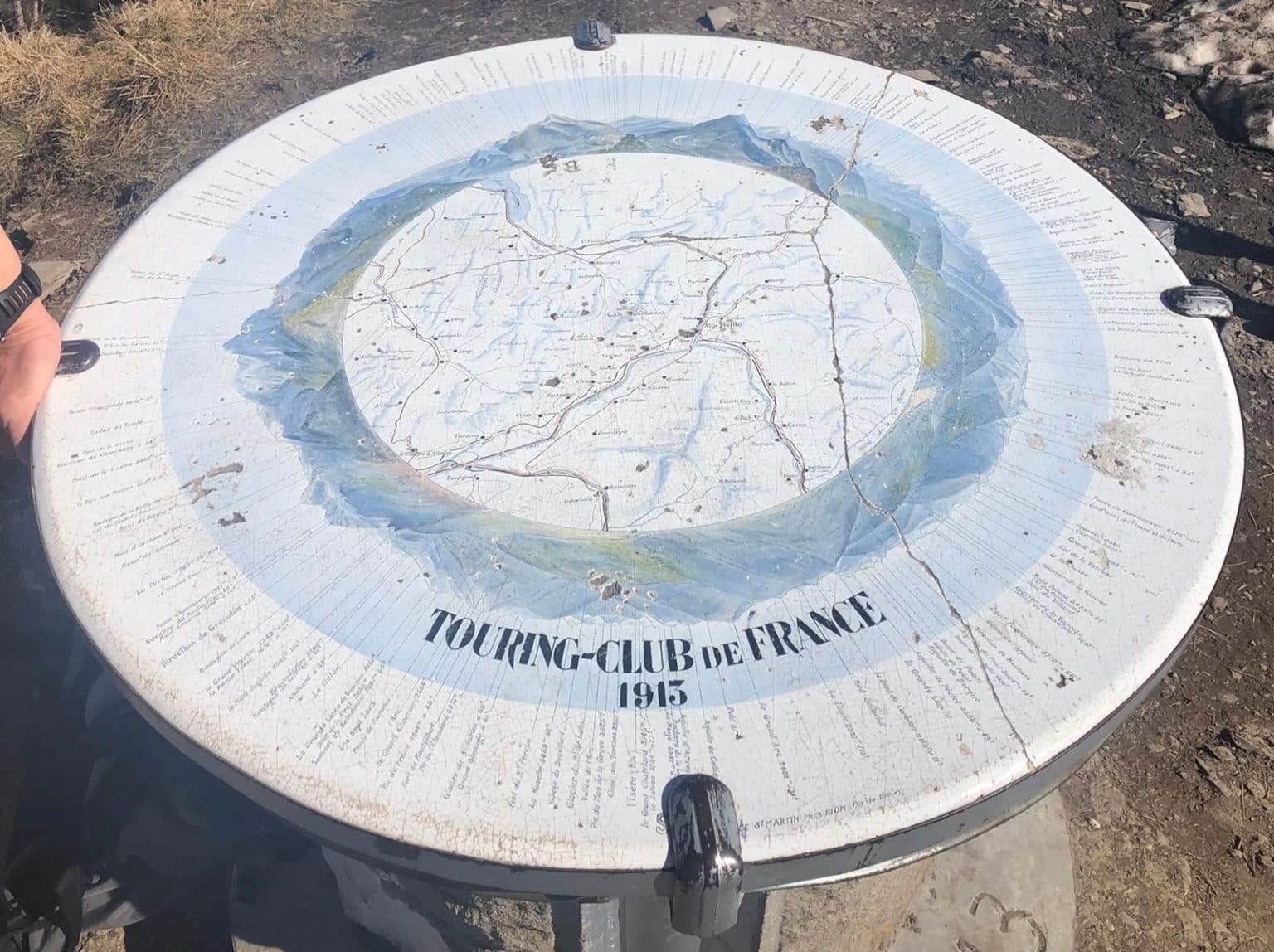
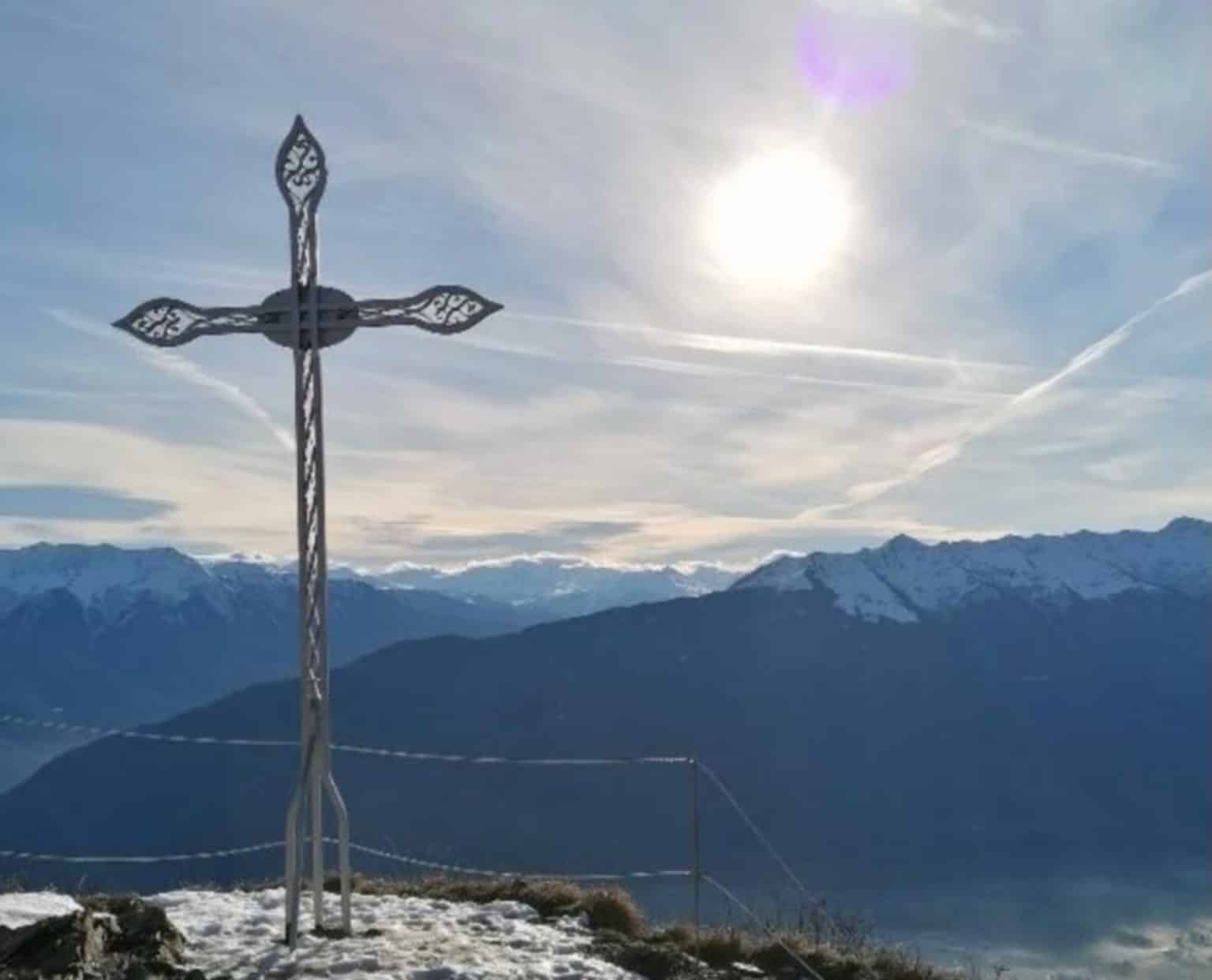
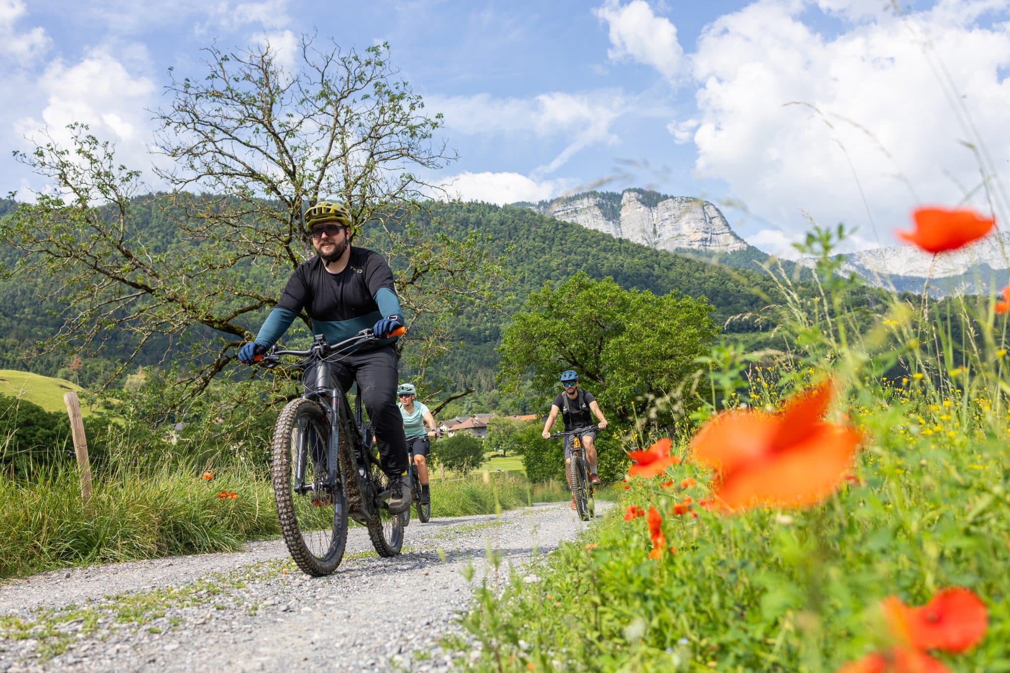
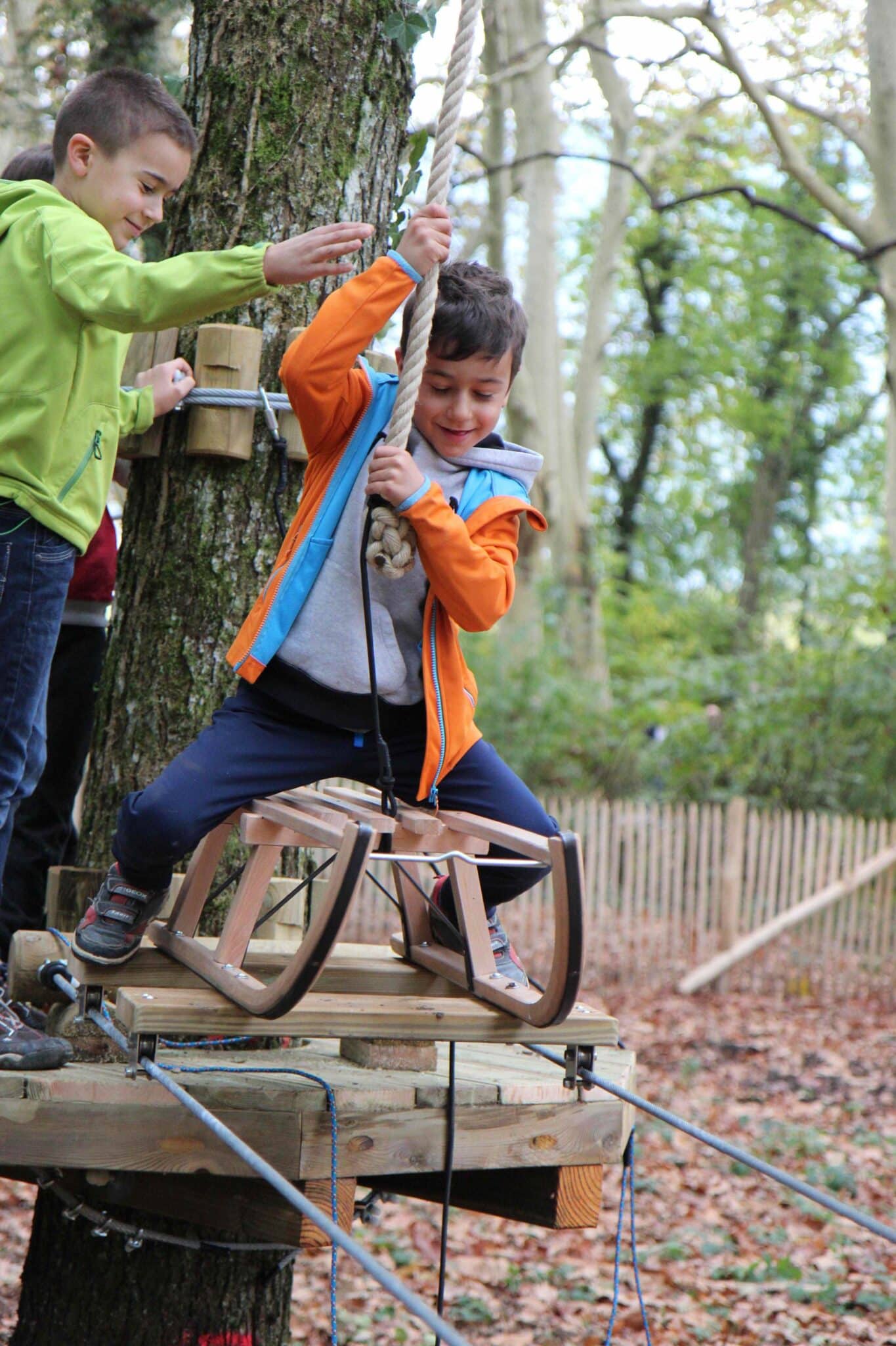
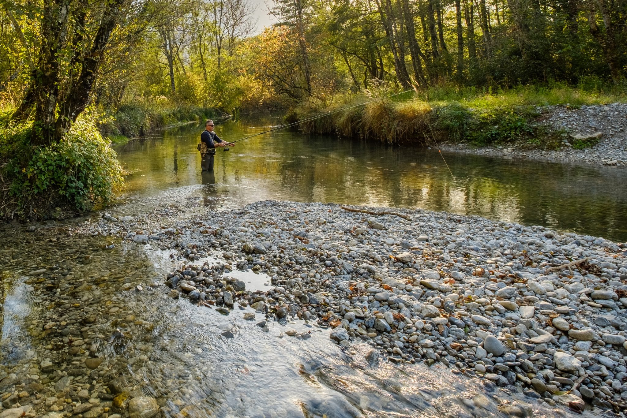
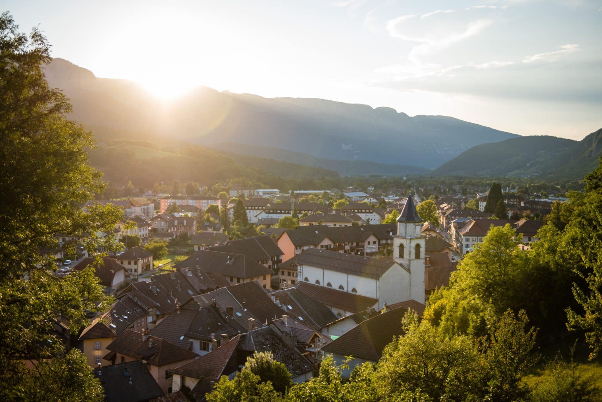
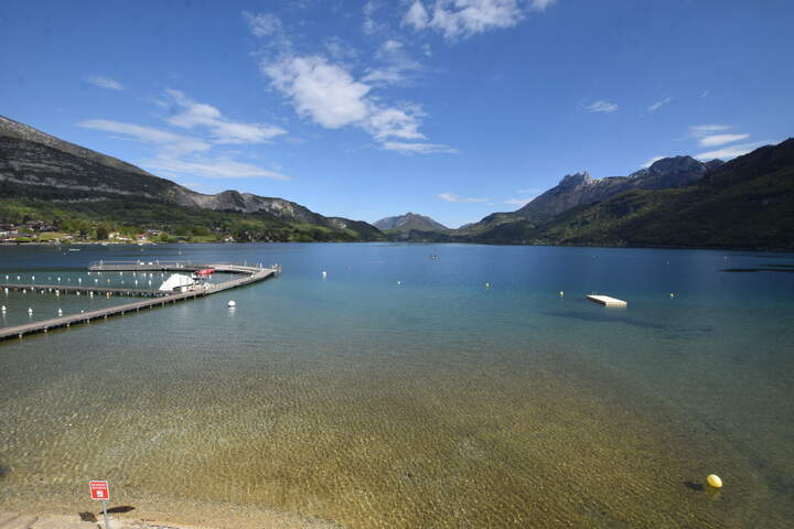
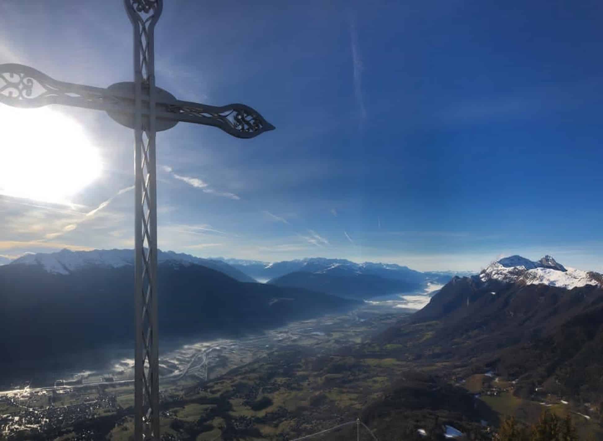
Photo gallery