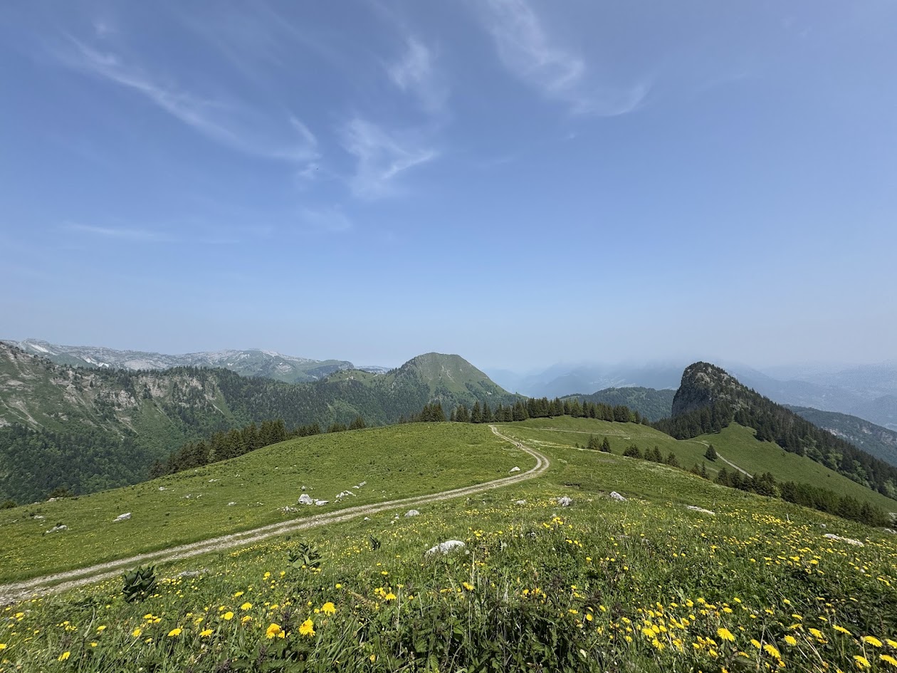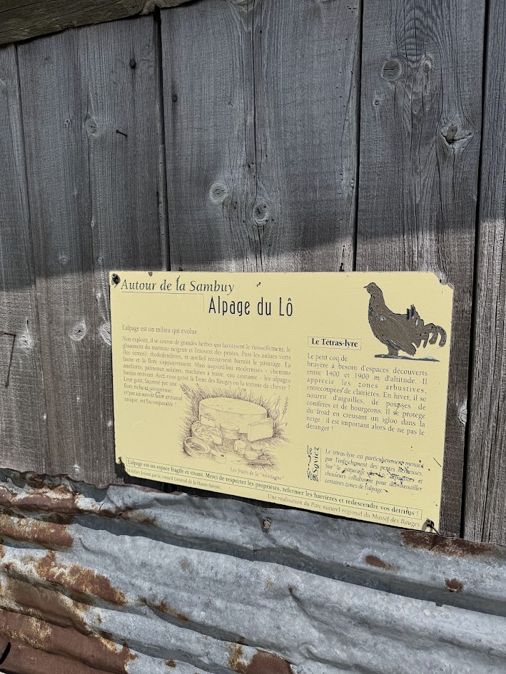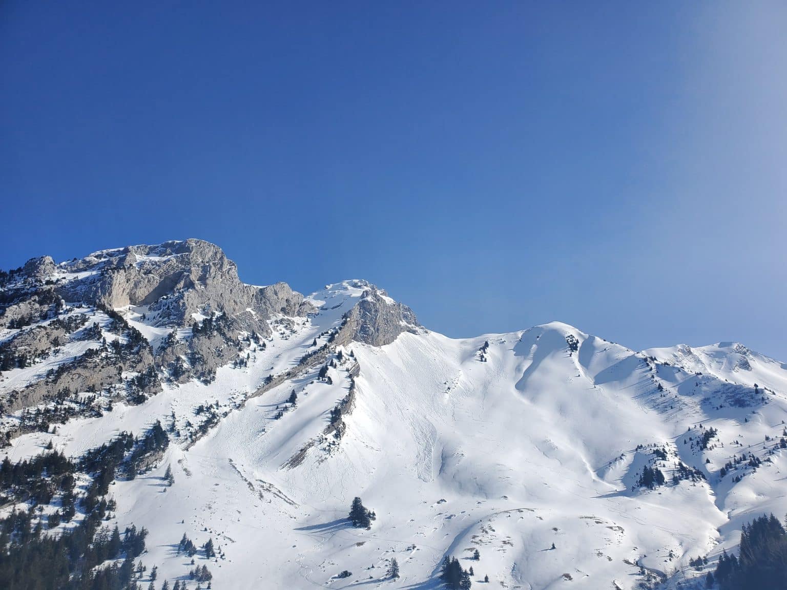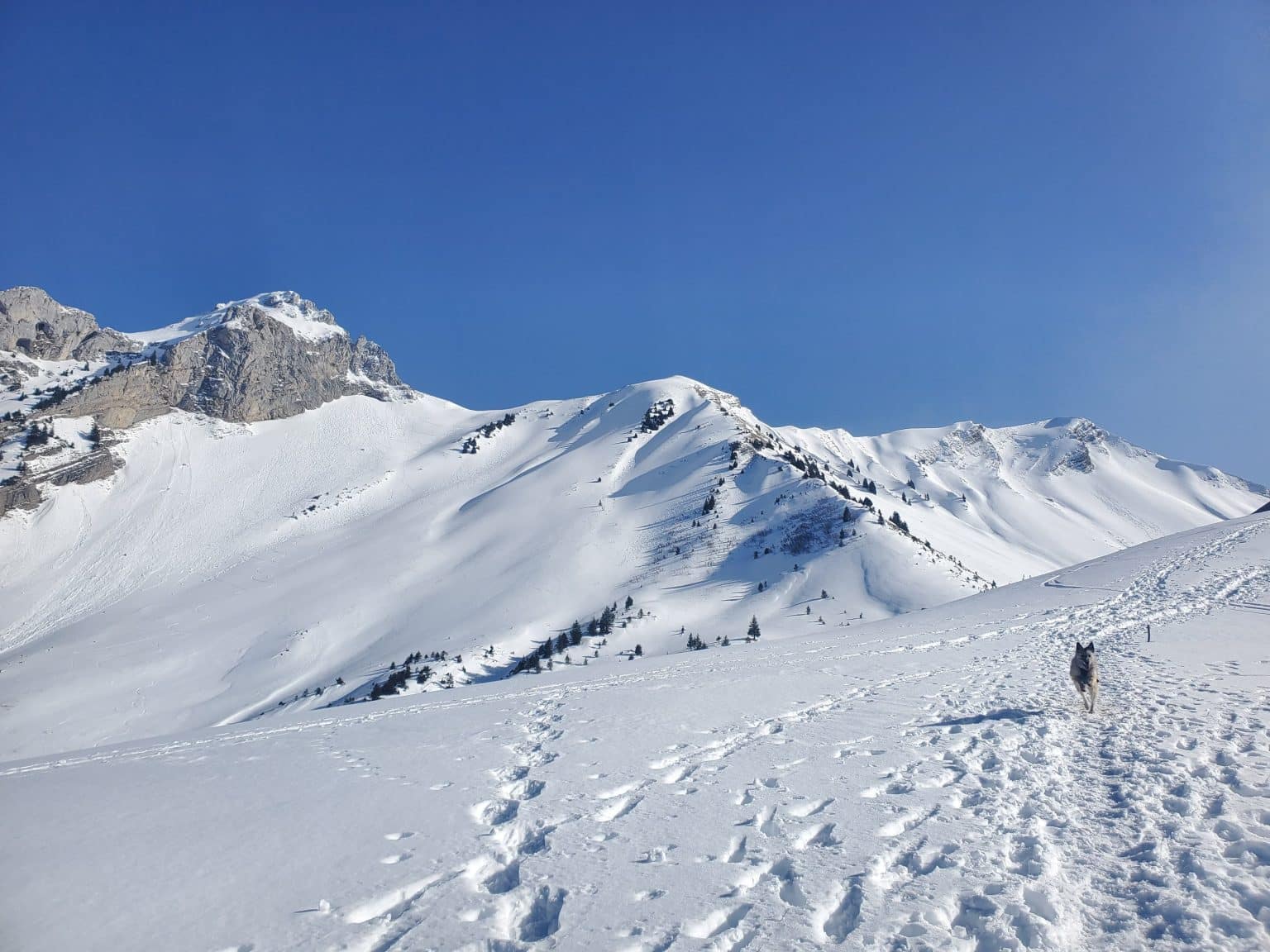

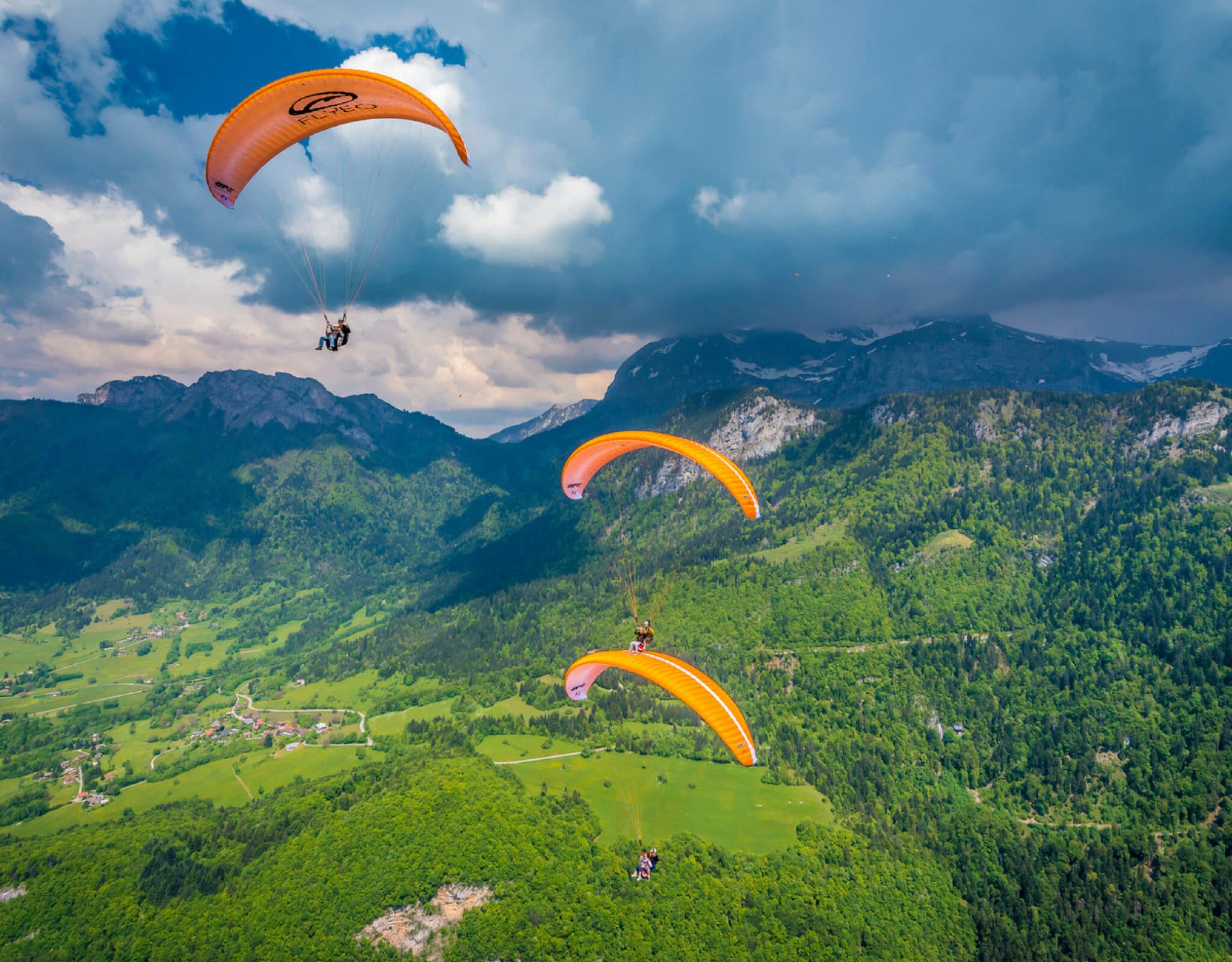


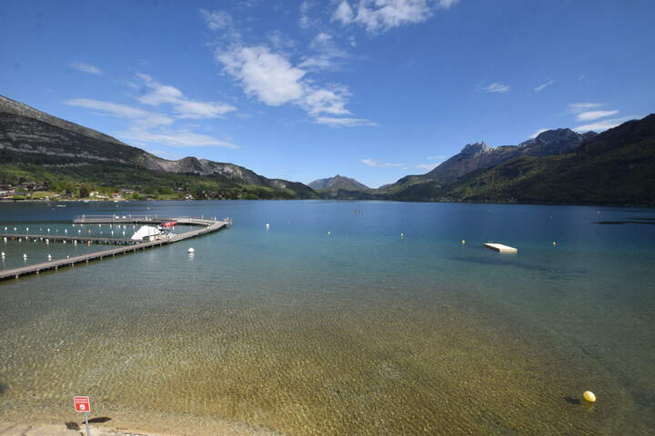
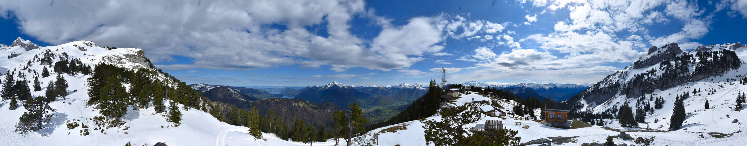

From the alpine pastures, the panorama of the surrounding peaks is breathtaking, offering an immersive experience through forests, high-altitude meadows, and panoramic views worthy of major Alpine hikes. The Orgeval loop is a challenging and technical hike, perfect for well-prepared hikers seeking a complete route in the heart of the Bauges natural landscape.
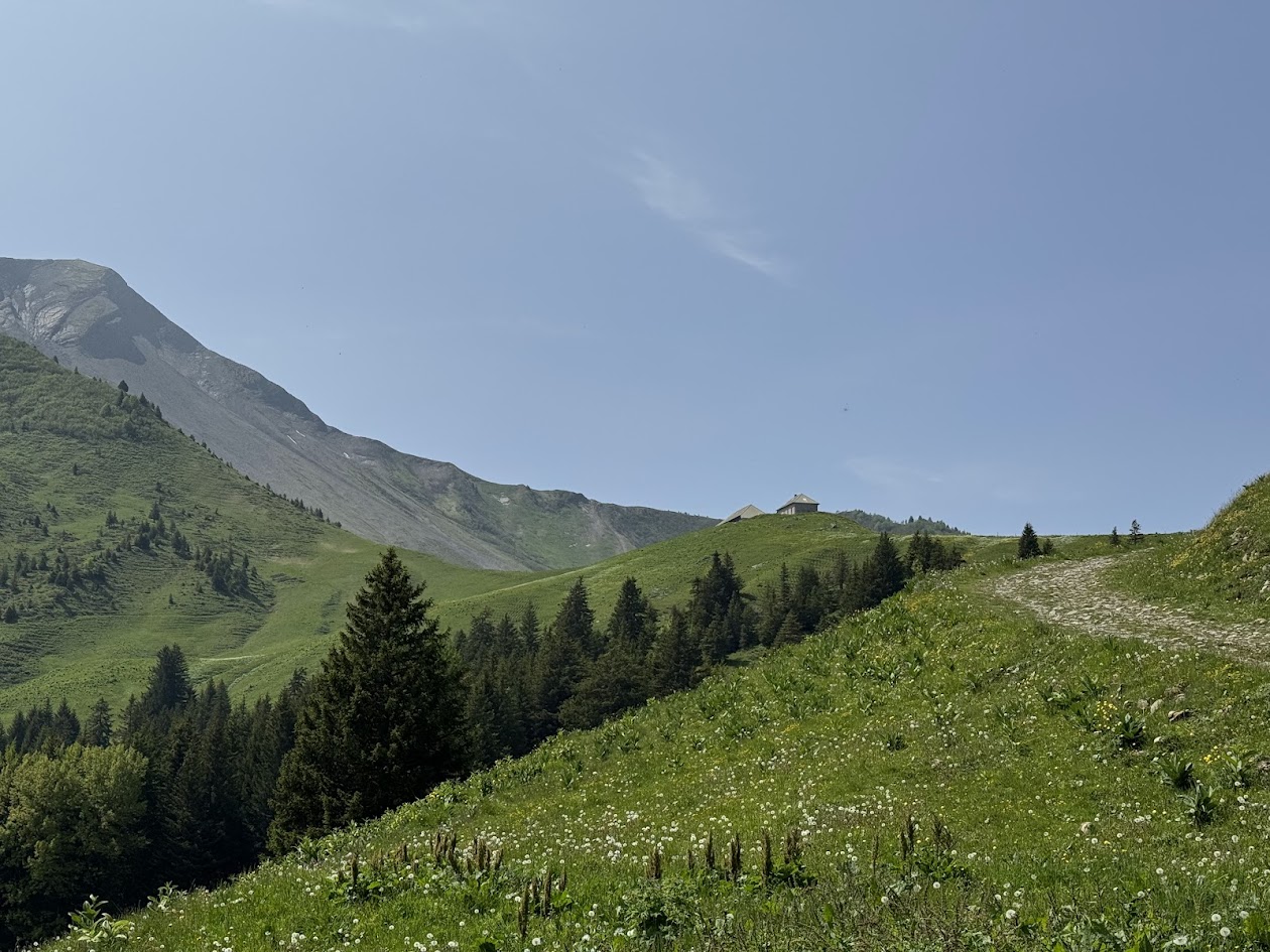
Along the alpine meadows and sensitive natural areas, the route also invites observation of the local flora, pastoral practices, and the site’s history, punctuated by ever-changing landscapes of grassy meadows and wild valleys. The descent, while less technical than the ascent, remains demanding in places, particularly on rocky sections when the ground is wet.
Accessible only to hikers accustomed to long outings with significant elevation gain, this loop combines physical effort, alpine immersion, and the grandiose panoramas typical of the Bauges Regional Natural Park.
Infos
Horaires
All year round daily. Subject to favorable snow and weather conditions.
Tarifs
Accès libre.
Langues parlées
French
Étapes
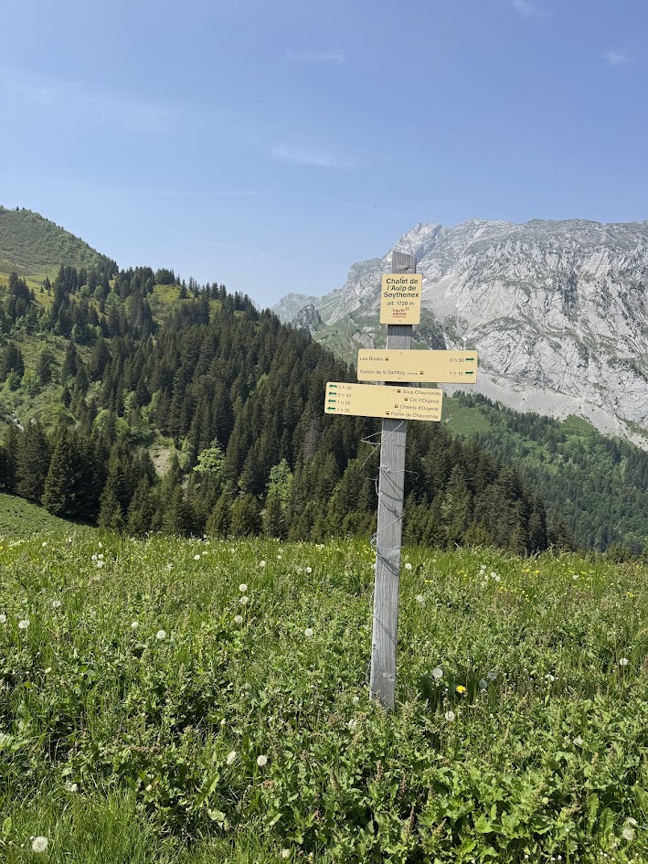
At the Sambuy parking lot, take the path towards the alpine pastures and the Chalet de l’Aulp de Seythenex.
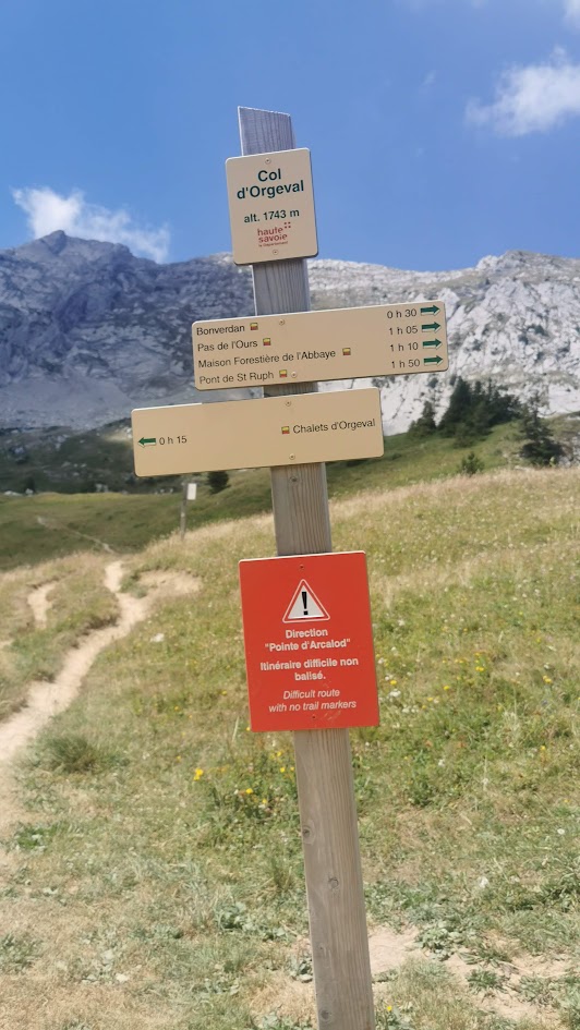
Once at the chalet, follow the signs for “Sous Chaurionde,” then “Col d’Orgeval.”
At Col d’Orgeval, begin the descent towards Saint-Ruph, passing by the “Chalet de Bonverdan” and the “Old Abbey Forestry House.”
At the Saint-Ruph bridge, climb back up to the Sambuy station.
Once at the chalet, follow the signs for “Sous Chaurionde,” then “Col d’Orgeval.”
At Col d’Orgeval, begin the descent towards Saint-Ruph, passing by the “Chalet de Bonverdan” and the “Old Abbey Forestry House.”
At the Saint-Ruph bridge, climb back up to the Sambuy station.
Itinéraire
Orgeval pass loop
Télécharger le tracé GPX
Pour ouvrir le fichier GPX, utilisez l'application Visorando
route de la Sambuy
Faverges-Seythenex
Galerie