


Infos
Horaires
All year round daily. Subject to favorable snow and weather conditions.
Tarifs
Accès libre.
Langues parlées
French
Étapes
From the parking lot at the “St Ruph – 891 m” totem, follow the direction of the “Pont de St Ruph” by descending the paved road. After passing the oratory, continue in the same direction at the “Les Clavins – 870 m” totem. Follow the main road until reaching the Saint-Ruph bridge.
At the “Pont de St Ruph – 893 m” totem, turn right toward the “Passerelle des Rois.” Follow this direction at the next totem, then continue straight along the wide gravel track running alongside the Saint-Ruph stream until you reach the footbridge.
Cross the footbridge and continue on the trail that climbs a steep slope toward the Baraque de l’Abbaye and the Servaz Chalet. Stay on the main trail, which continues to climb until reaching the “Les Rois – 1070 m” totem.
From here, follow the direction of the “Baraque de l’Abbaye” (0h20) along the trail that enters the forest. Continue on the main trail, which climbs a gentle slope, until reaching the “Sur les Rois – 1120 m” totem.
At this point, it is possible to reach the Servaz Chalet by taking the right-hand trail (faster but steeper). The chosen route continues toward the Baraque de l’Abbaye. Take the left-hand trail and follow it for about 10 minutes until reaching the building.
At the Baraque de l’Abbaye, head toward the water point, then locate the “Maison Forestière de l’Abbaye” totem on the right. Then follow the “Chalet de la Servaz” direction along the wide right-hand trail. Continue on the main trail until a crossroads; do not turn left toward the Pas de l’Ours, but continue right for about 200 m until reaching the “Ruisseau des Rois – 1210 m” totem, veering slightly left at a fork.
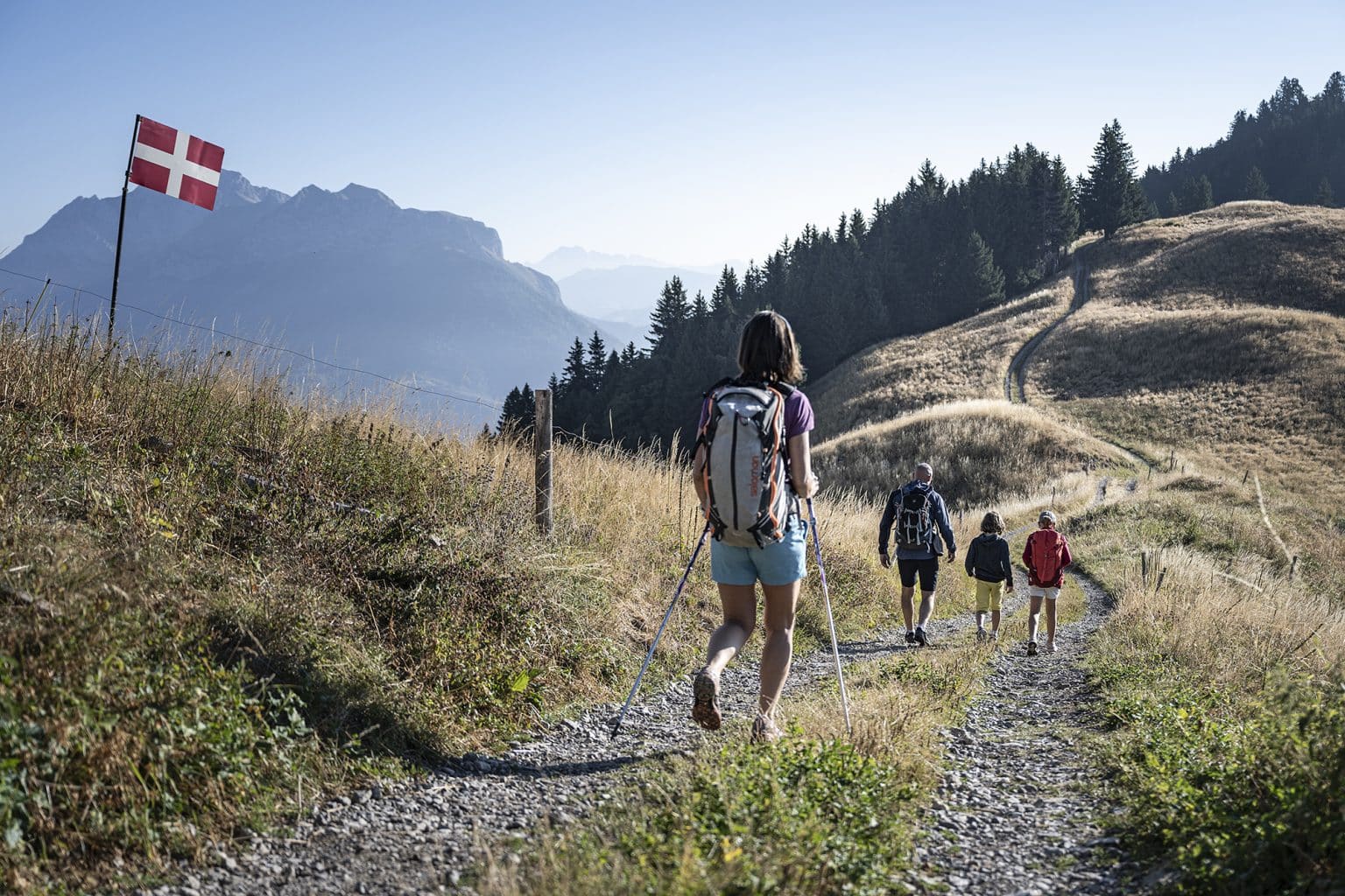
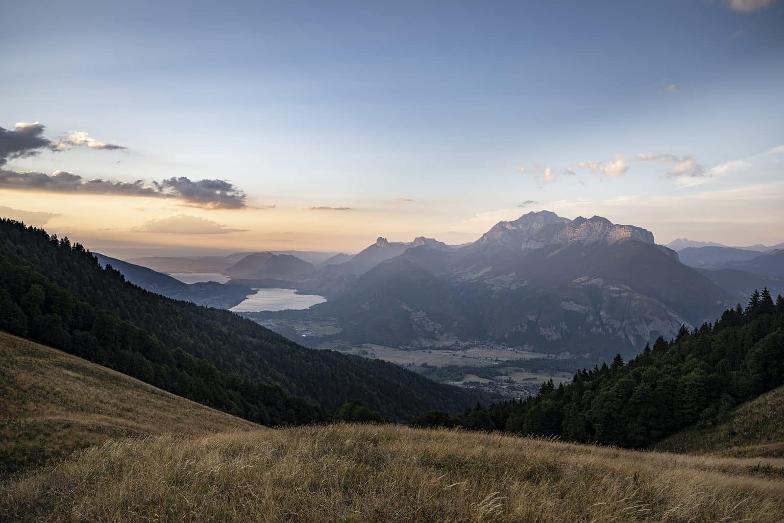
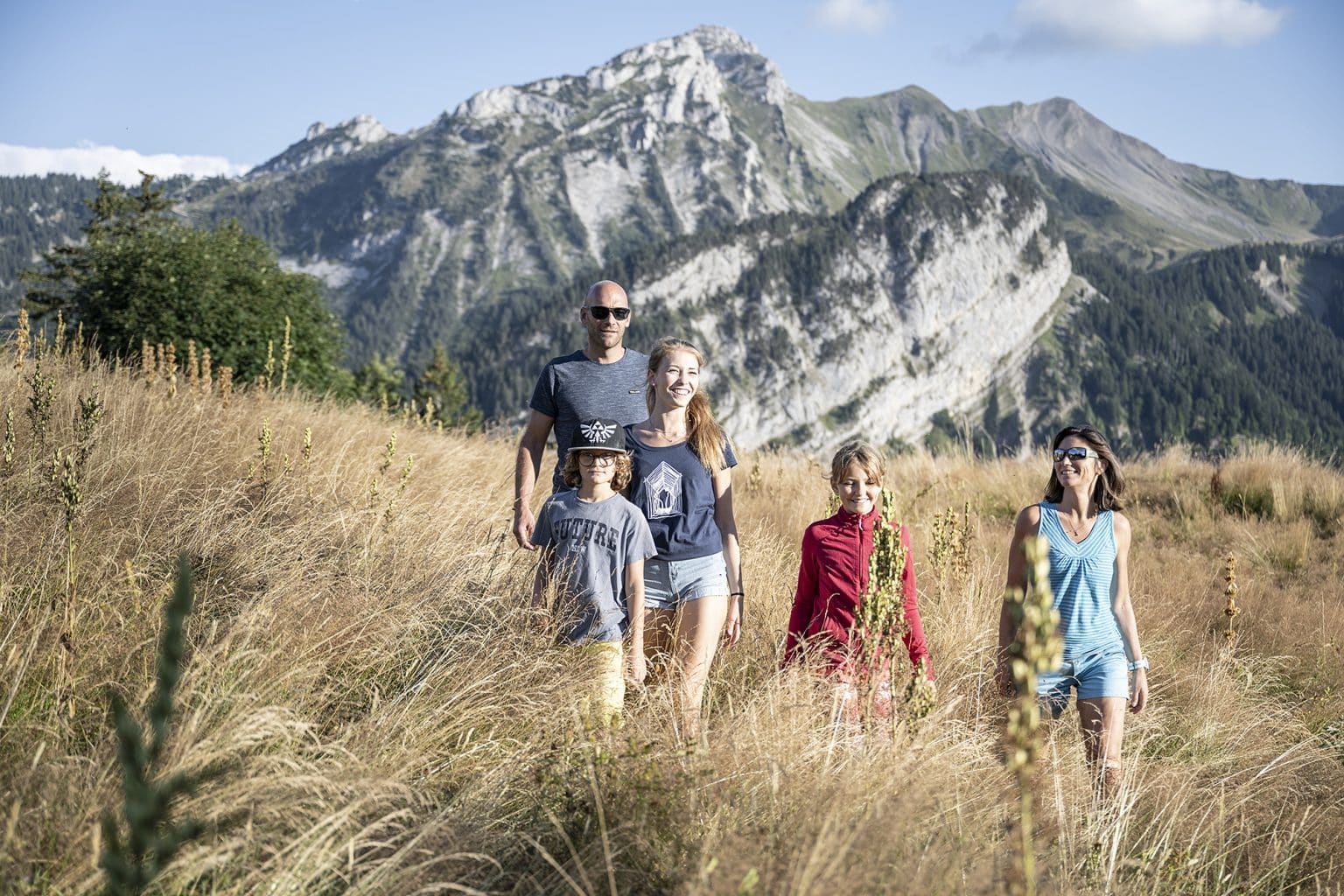
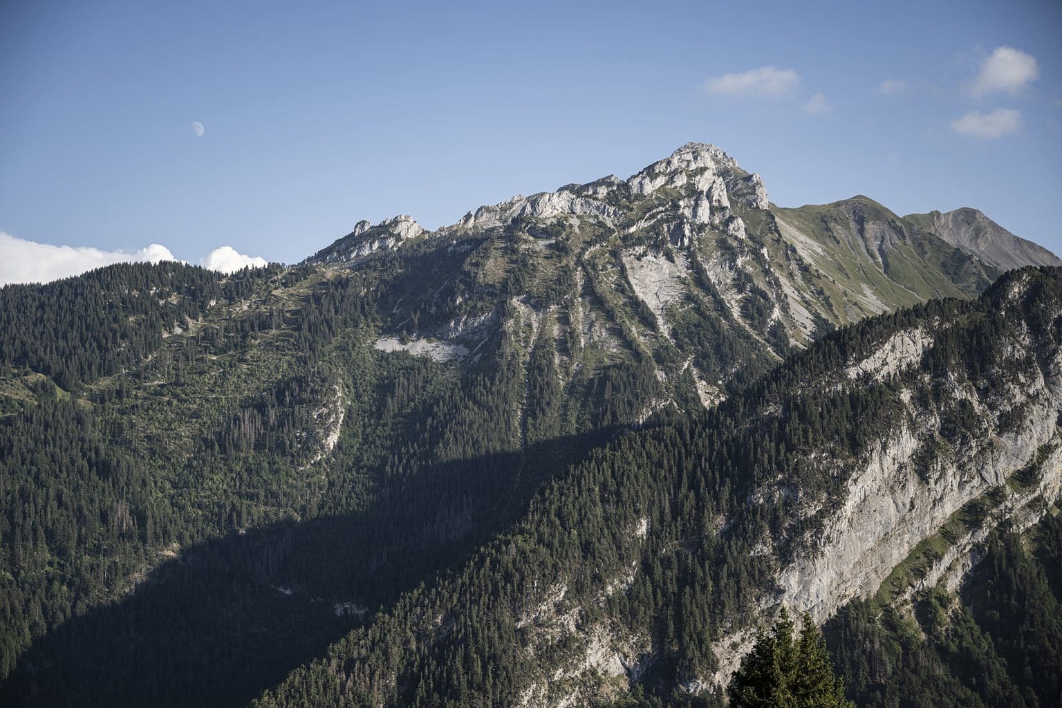
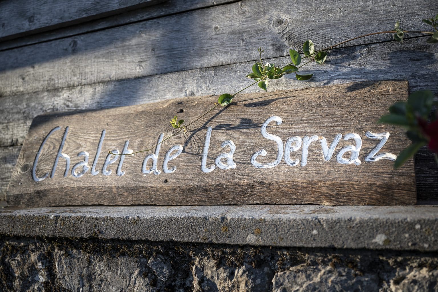
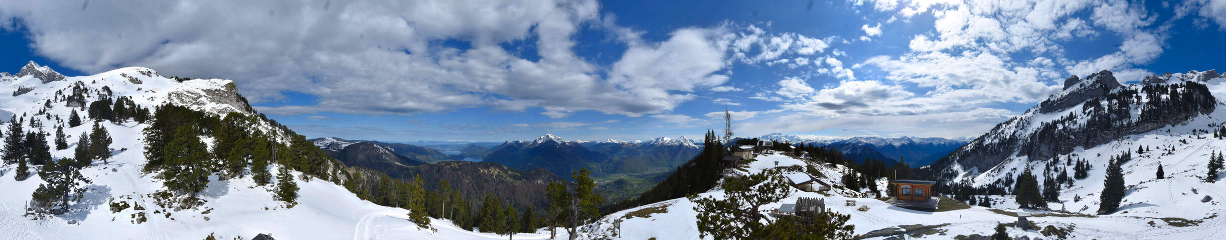
Turn left toward the “Chalet de la Servaz” (0h45) via the trail that climbs quite steeply through the forest. Follow the trail marked by directional plaques, then enter the Servaz alpine pasture. Soon, a magnificent view opens onto the Sambuy and Arcalod peaks, as well as Mont Blanc in the distance. Continue on the main trail until reaching the Servaz Chalet and the “Chalet de la Servaz – 1441 m” totem.
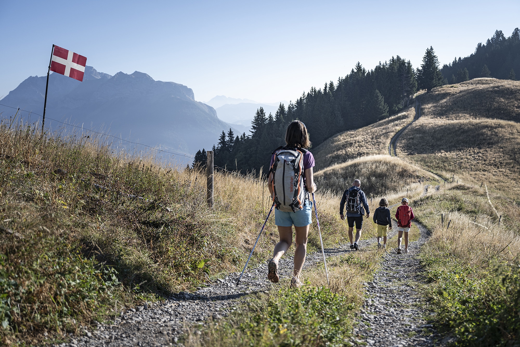
Continue along the trail past the Servaz Chalet in the direction of “Les Clavins” (1h05). A few meters below, reach the “Sous la Servaz – 1380 m” totem. Take the trail descending through the meadow toward the “Pont de St Ruph (Parking)” (1h10). The path quickly enters the forest and continues down a fairly steep slope with regular switchbacks. Be cautious on this steep forest trail; trekking poles are strongly recommended. Continue descending along the main trail until reaching a small wooden sign.
Continue on the trail straight ahead, which descends on a gentler slope (a cross marked on a tree indicates the other path should not be taken). Keep descending on this trail until reaching the “Les Clavins – 870 m” totem encountered at the beginning of the route.
Turn left onto the path you took at the start to return to the parking lot within a few minutes.
Source: https://rando.parcdesbauges.com/
At the “Pont de St Ruph – 893 m” totem, turn right toward the “Passerelle des Rois.” Follow this direction at the next totem, then continue straight along the wide gravel track running alongside the Saint-Ruph stream until you reach the footbridge.
Cross the footbridge and continue on the trail that climbs a steep slope toward the Baraque de l’Abbaye and the Servaz Chalet. Stay on the main trail, which continues to climb until reaching the “Les Rois – 1070 m” totem.
From here, follow the direction of the “Baraque de l’Abbaye” (0h20) along the trail that enters the forest. Continue on the main trail, which climbs a gentle slope, until reaching the “Sur les Rois – 1120 m” totem.
At this point, it is possible to reach the Servaz Chalet by taking the right-hand trail (faster but steeper). The chosen route continues toward the Baraque de l’Abbaye. Take the left-hand trail and follow it for about 10 minutes until reaching the building.
At the Baraque de l’Abbaye, head toward the water point, then locate the “Maison Forestière de l’Abbaye” totem on the right. Then follow the “Chalet de la Servaz” direction along the wide right-hand trail. Continue on the main trail until a crossroads; do not turn left toward the Pas de l’Ours, but continue right for about 200 m until reaching the “Ruisseau des Rois – 1210 m” totem, veering slightly left at a fork.
Turn left toward the “Chalet de la Servaz” (0h45) via the trail that climbs quite steeply through the forest. Follow the trail marked by directional plaques, then enter the Servaz alpine pasture. Soon, a magnificent view opens onto the Sambuy and Arcalod peaks, as well as Mont Blanc in the distance. Continue on the main trail until reaching the Servaz Chalet and the “Chalet de la Servaz – 1441 m” totem.
Continue along the trail past the Servaz Chalet in the direction of “Les Clavins” (1h05). A few meters below, reach the “Sous la Servaz – 1380 m” totem. Take the trail descending through the meadow toward the “Pont de St Ruph (Parking)” (1h10). The path quickly enters the forest and continues down a fairly steep slope with regular switchbacks. Be cautious on this steep forest trail; trekking poles are strongly recommended. Continue descending along the main trail until reaching a small wooden sign.
Continue on the trail straight ahead, which descends on a gentler slope (a cross marked on a tree indicates the other path should not be taken). Keep descending on this trail until reaching the “Les Clavins – 870 m” totem encountered at the beginning of the route.
Turn left onto the path you took at the start to return to the parking lot within a few minutes.
Source: https://rando.parcdesbauges.com/
Itinéraire
Servaz Loop
Télécharger le tracé GPX
Pour ouvrir le fichier GPX, utilisez l'application Visorando
Parking de Saint-Ruph
Faverges-Seythenex
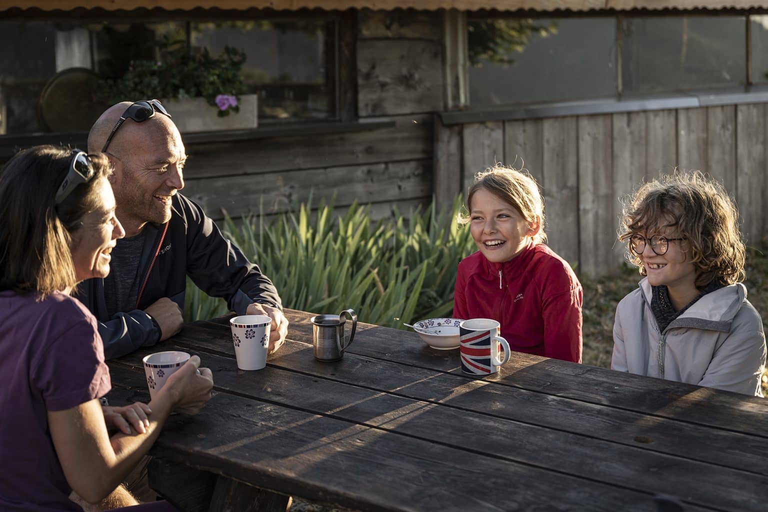
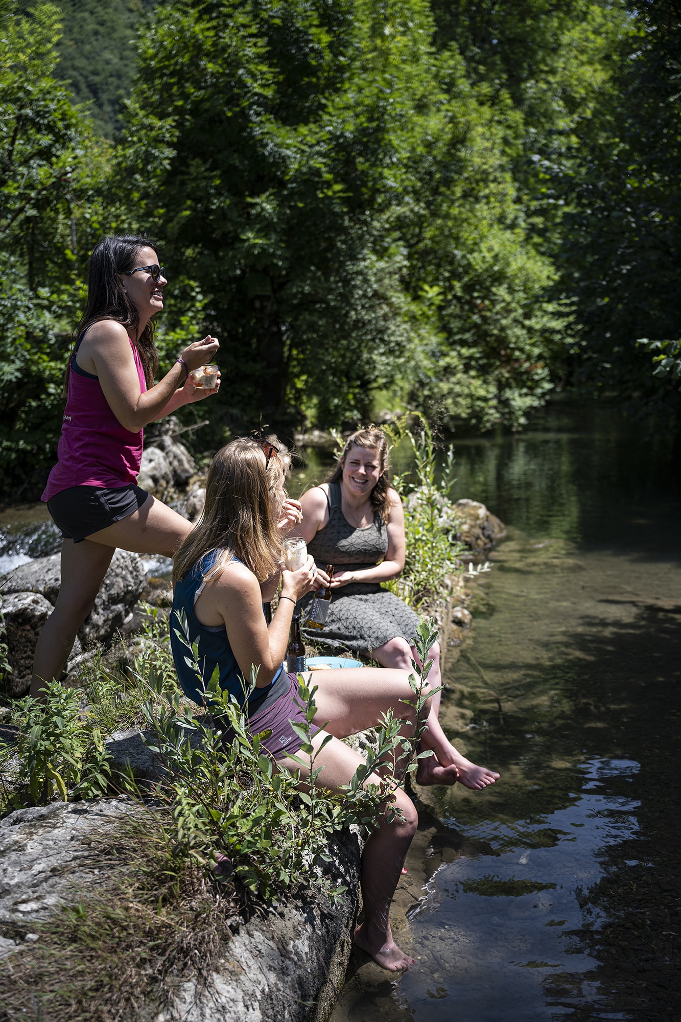
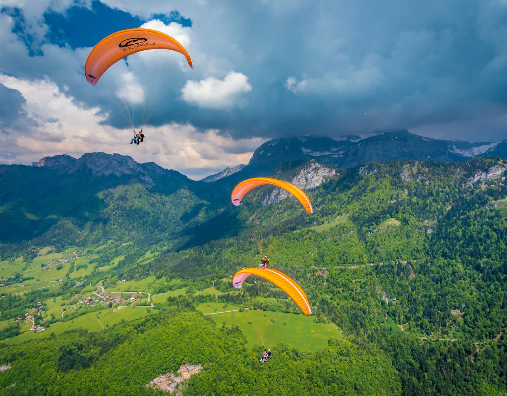
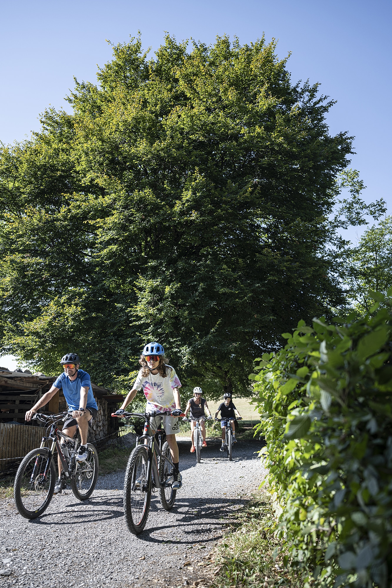
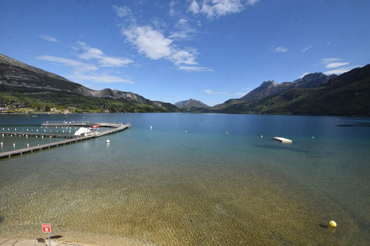
Galerie